By Jim T
AUGUST 16, 2010

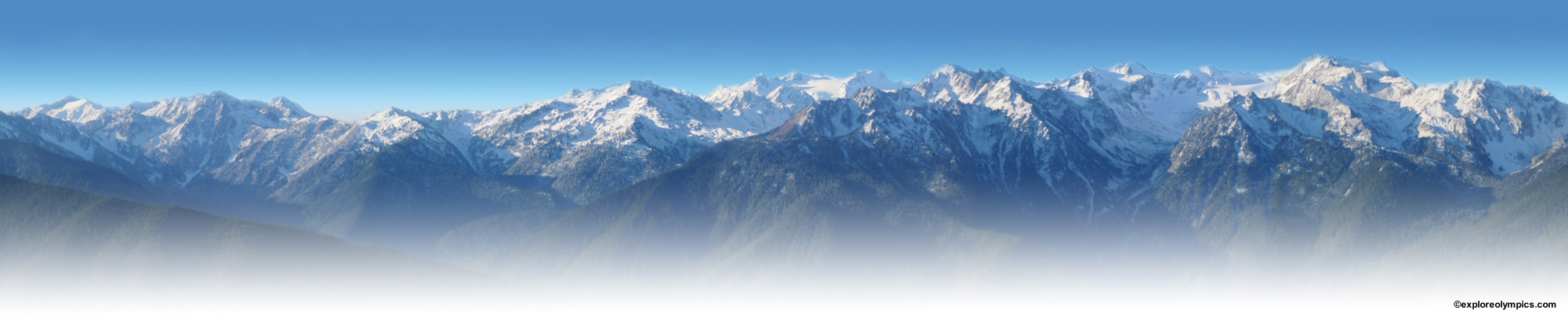
Mt. Hopper fire smoke plume drifting North, 2 days before the hike.EW
“It’s my favorite hike in the Olympics”
“This hike makes me feel like I’ve really climbed a mountain”
“This was harder than Mt. Adams”
“I’ve never seen so many Goats in distress before”
“… and is better suited to mountain goats than hikers.”
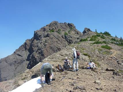
And the quotes went on, from each level of experience, from all 13 Goats. Mt. Washington truly merits the designation as difficult. The trail starts at FS road 2419, the Big Creek road, at about 3000’. In less than 2 miles, it climbs to the ridge at 5940’, and with another ¼ mile reaches the top of the peak at 6255’ (according to printed info and maps). Our average time to the top was 3 1/2hours, and 2 ½ hours down.
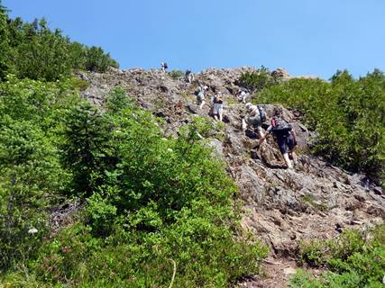
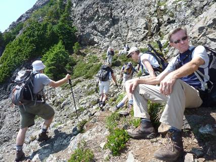
Mt. Washington is about 1 mile Northwest of Mt. Ellinor, and connected by a ridge. The fire on Mt. Hopper was about 6 miles to the Northwest of Mt. Washington, and while there was considerable haze on the Hood Canal, once we were on the mountain, our visibility was fine. As the pictures show, the trail grades from steep root ladders, through talus and scree, to small snowfields, and finally across narrow ledges to the ridge spine
The thumbnail images below can be viewed as a slide show, just click on an image to start slideshow. Click or tap on the right or left side of the image to view the next or previous image. Click or tap outside the slideshow image and the slideshow will close.
-

- Mt. Hopper fire smoke plume drifting North, 2 days before the hike.EW

-

- Tough terrain (if you rotate this ridgeline clockwise 90º, it shows Pres. Washington’s profile)ND

-

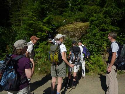
- Let’s go! JH
-

- Starting up KJ

-

- Neil using all the points of contact KJ

-

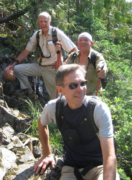
- Group photo in first meadow JH

-

- Mt. Washington EW

-

- Mt. Washington JH

-

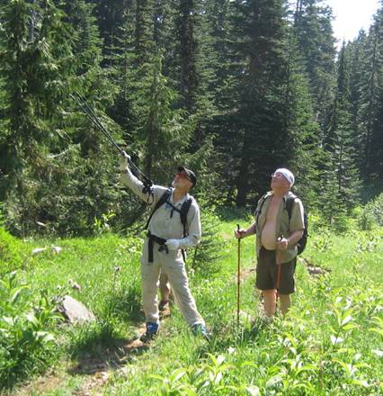
- Paul identifying the objective with John ND
-

- Climbing JH
-

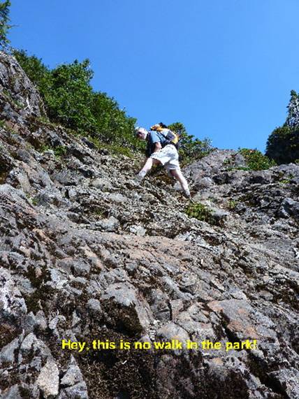
- Hey this is no walk in the park! KJ
-

- Who is kidding who? ND
-

- Feeling the pain ND

-

- Mt. Washington ND

-

- Time for a break KJ

-

- Neil capturing the views at the alpine meadow EW

-

- Yes, up there! ND
-

- Rest stop JH
-

- Goats on the rocks ND

-

- Trail left JH
-

- Road to the top (“the sidewalk”) JH

-

- Looking down from the “sidewalk” KJ

-

- Snow crossing JH

-

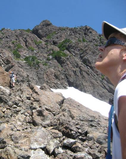
- Karen (note angle of snowfield) ND

-

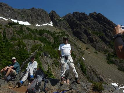
- Lunch spot on the ridge, Mt. Washington peak in backgroundJH
-

- Final Climb JH

-

- Trail to the top JH

-

- Lake Cushman JH

-

- Near the top, with packs left at the lunch saddle below EW

-

- The top JH

-

- Mt. Ellinor JH

-

- View West JH

-

- Trail down JH

-

- Mt. Olympus in the background, from the top of Mt. Washington EW

To “Pin” an image, click the “Pin It” button and select image from list.